
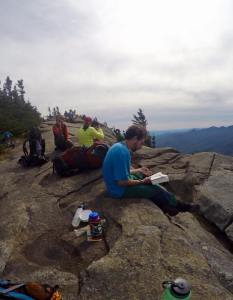
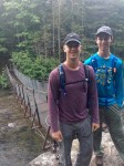
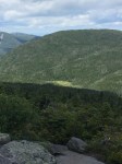
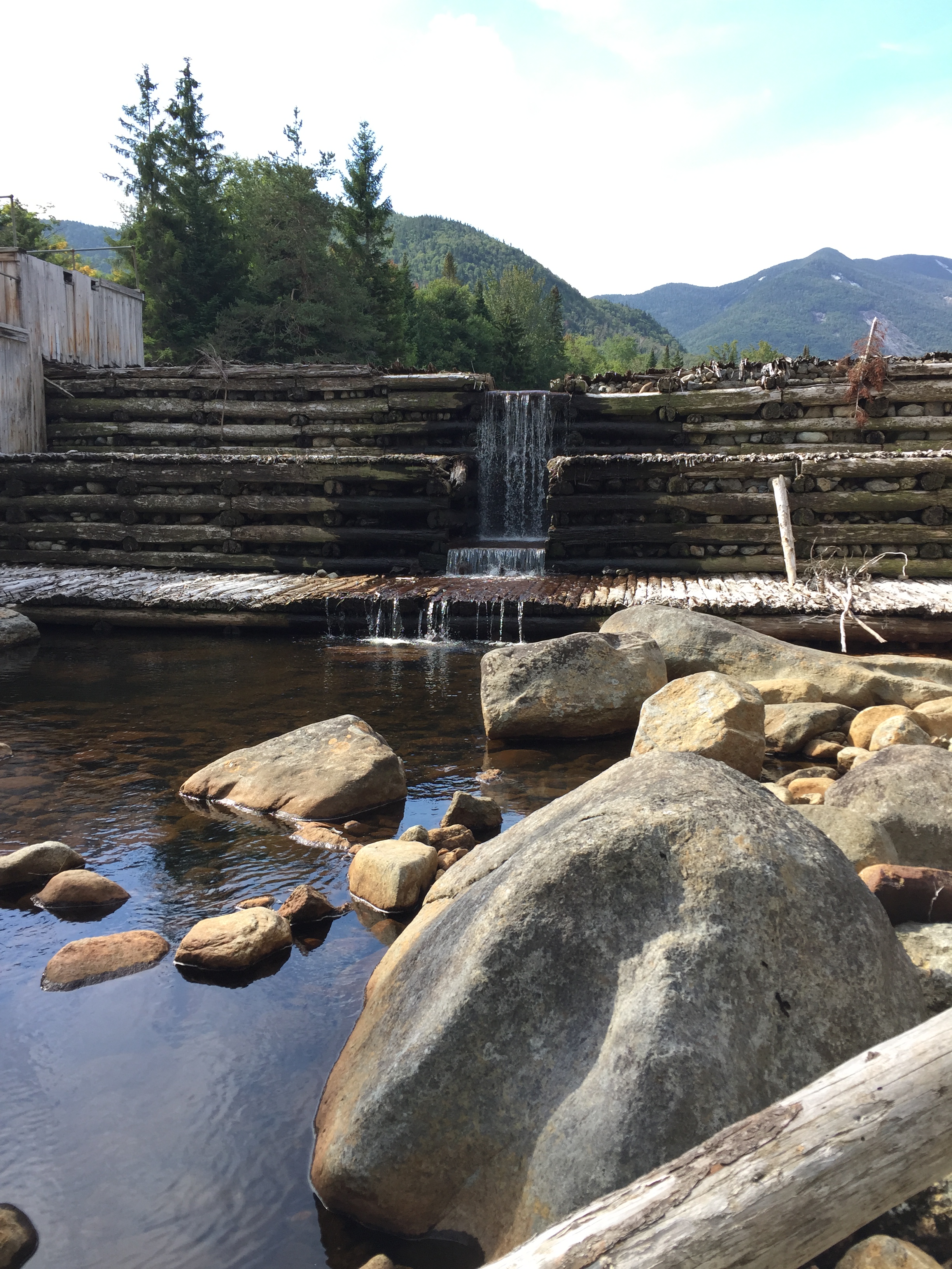
Last week I left my iPhone in the car, picked up a backpack and spent nine days hiking through the Adirondacks with nine people I first met at an ice breaker where we were each asked to perform a favorite dance move. This is the story of that journey.
After the dance move introduction, which did not go particularly well for me, our group of ten assembled in a field and spread out all of the clothes and gear we had brought. Our instructors, Hannah and Oscar, visited with each of us and gave us suggestions on what to bring and what to leave behind.
We were then organized into three-person tent groups and four-person cooking teams. Our food ration was 1.6 pounds per person per day. The food and gear were equitably distributed and I started the trip with a pack that weighed almost 57 pounds.
My tent-mates were Adam and Aaron. Adam is an aspiring writer and Internet entrepreneur with a razor-sharp wit who really knows how to tell a good joke. Aaron, an Episcopalian minister, is one of the most thoughtful and considerate persons I have ever met. If Jesus were a backpacker I think he would be a lot like Aaron.
For our cook group, Aaron and I were paired with Jenny and Christina. Jenny recently retired after a successful business career. She is a strong hiker and a great cook and conversationalist with a very effective leadership style. Christina is a fashion designer and endurance athlete. She was the strongest hiker in our group and never stopped smiling throughout the entire trip.
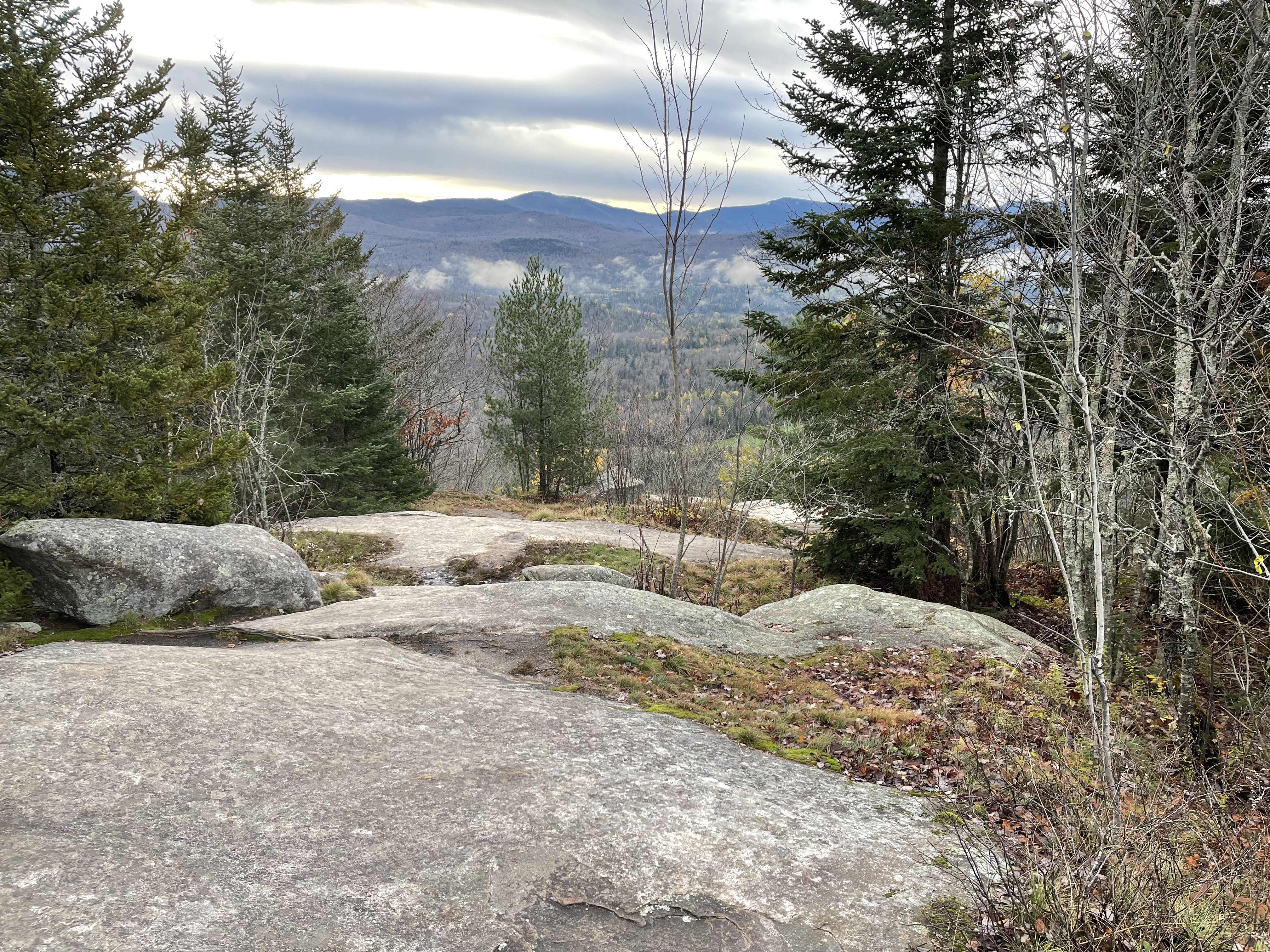
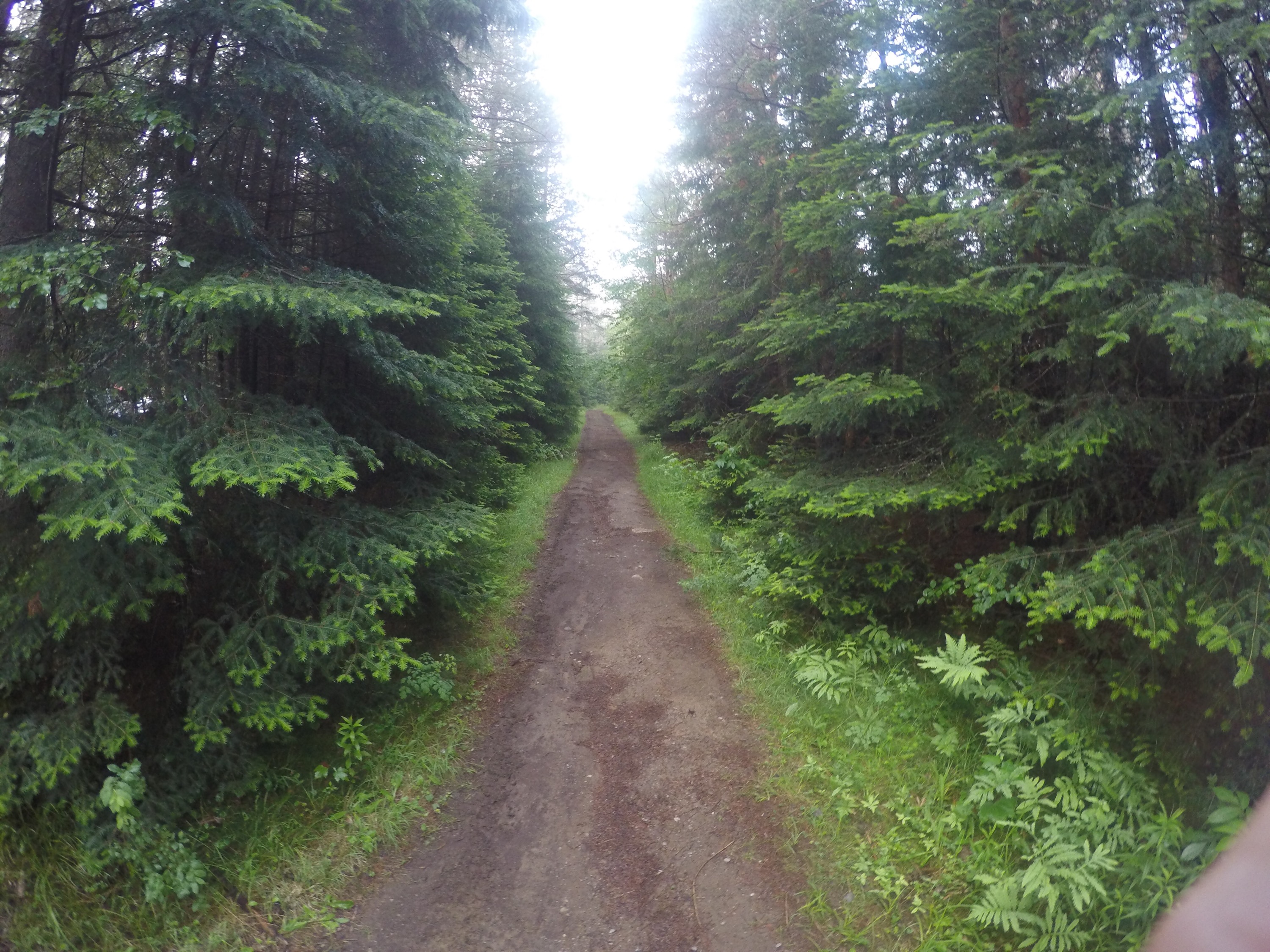
On the first evening we hiked about a mile to our campsite where we were taught how to set up the tents and how to construct a “bear hang” to keep our food safely out of reach of animals looking for a late night snack.
It is dark in the Adirondacks and I learned many valuable lessons that night. First, tent site selection is critical. I awoke on the second morning a little sore after spending the night with a large root beneath my neck. Second, be sure to remember where you have left your headlamp. When it started to rain in the middle of the night and we needed to scramble to keep things dry I could not find it when it was most needed. And finally, leave a light on in the tent to help you find your way back should you take a walk into the dark woods in the middle of the night. I thought I knew where I was until I turned to walk back to the tent and realized that nothing looked at all familiar. I stumbled around a bit before finding our tent, grateful that I had not followed up my embarrassing dance performance by getting lost in the woods on the first day.
On the second morning we learned the proper way to light our camp stoves. Unfortunately this lesson came a few minutes after I had already set a large boulder on fire after failing to connect the gas canister correctly.

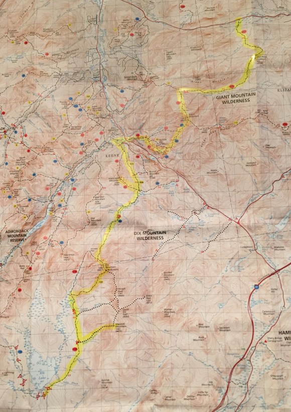
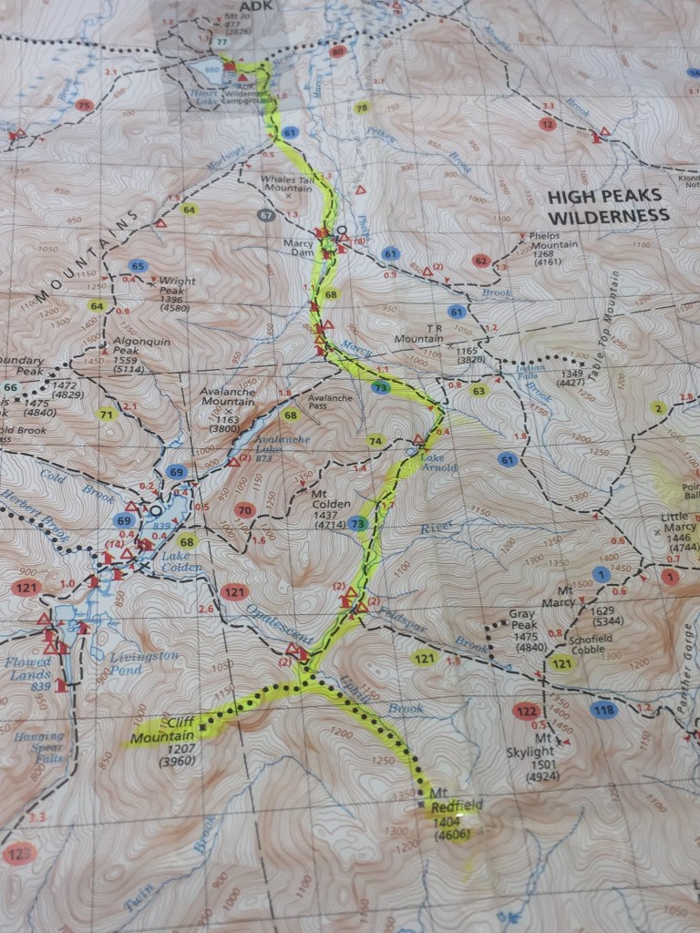
On the third day we were up early for our first challenging hike up and over Giant Mountain to a campsite along the shores of a small lake called the Giant Washbowl. My hiking group for the day included two members of the other cooking group, one having just finished rehabilitating from serious knee surgery. The other strained her knee during the steep descent and our group would struggle for nearly seven hours to complete the 3.9 mile hike. Along the way Hannah displayed amazing character and leadership as she motivated all of us to finish the hike.
We rested the next day and spent it learning more skills and swimming in the nearby lake.
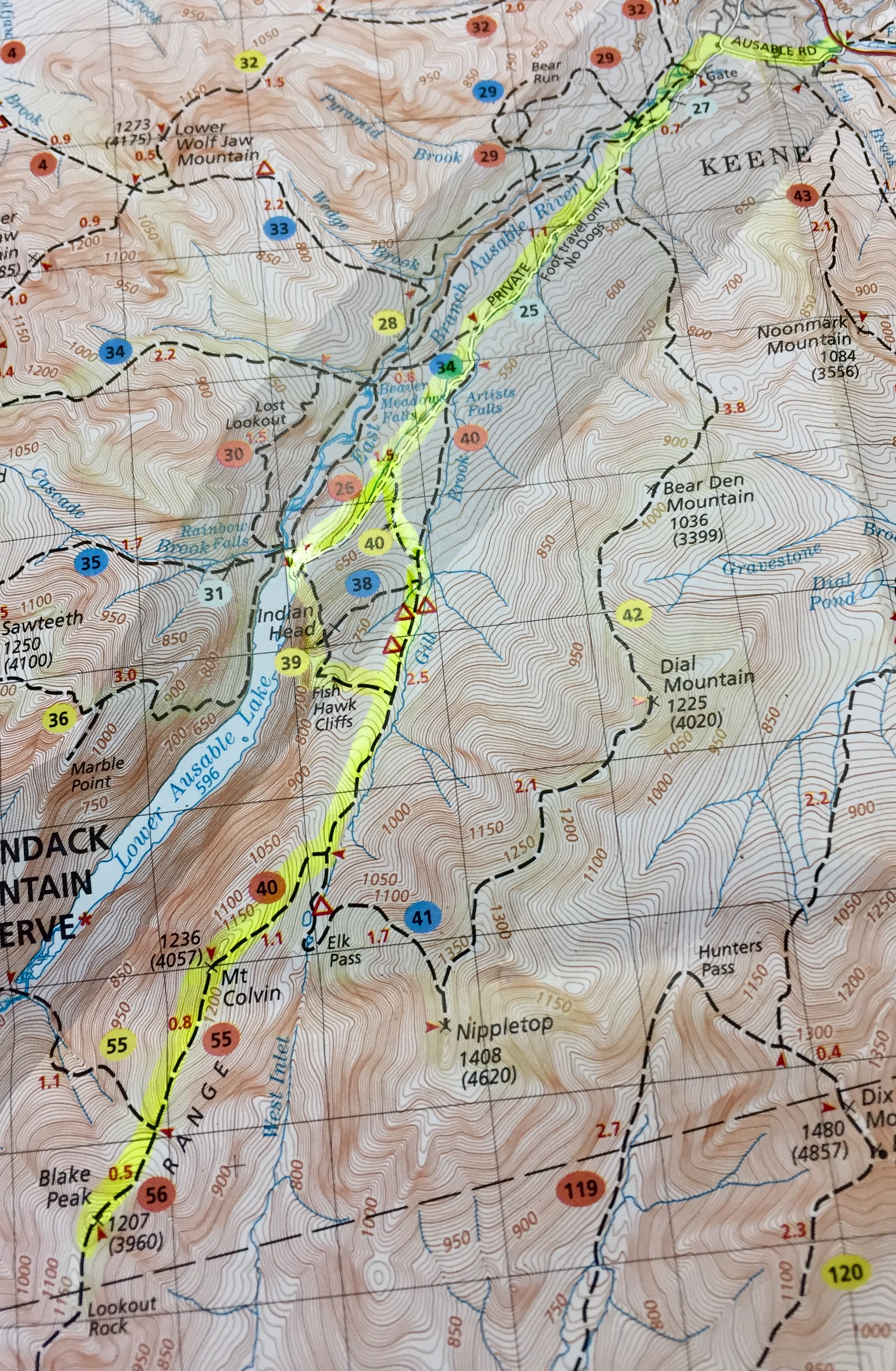
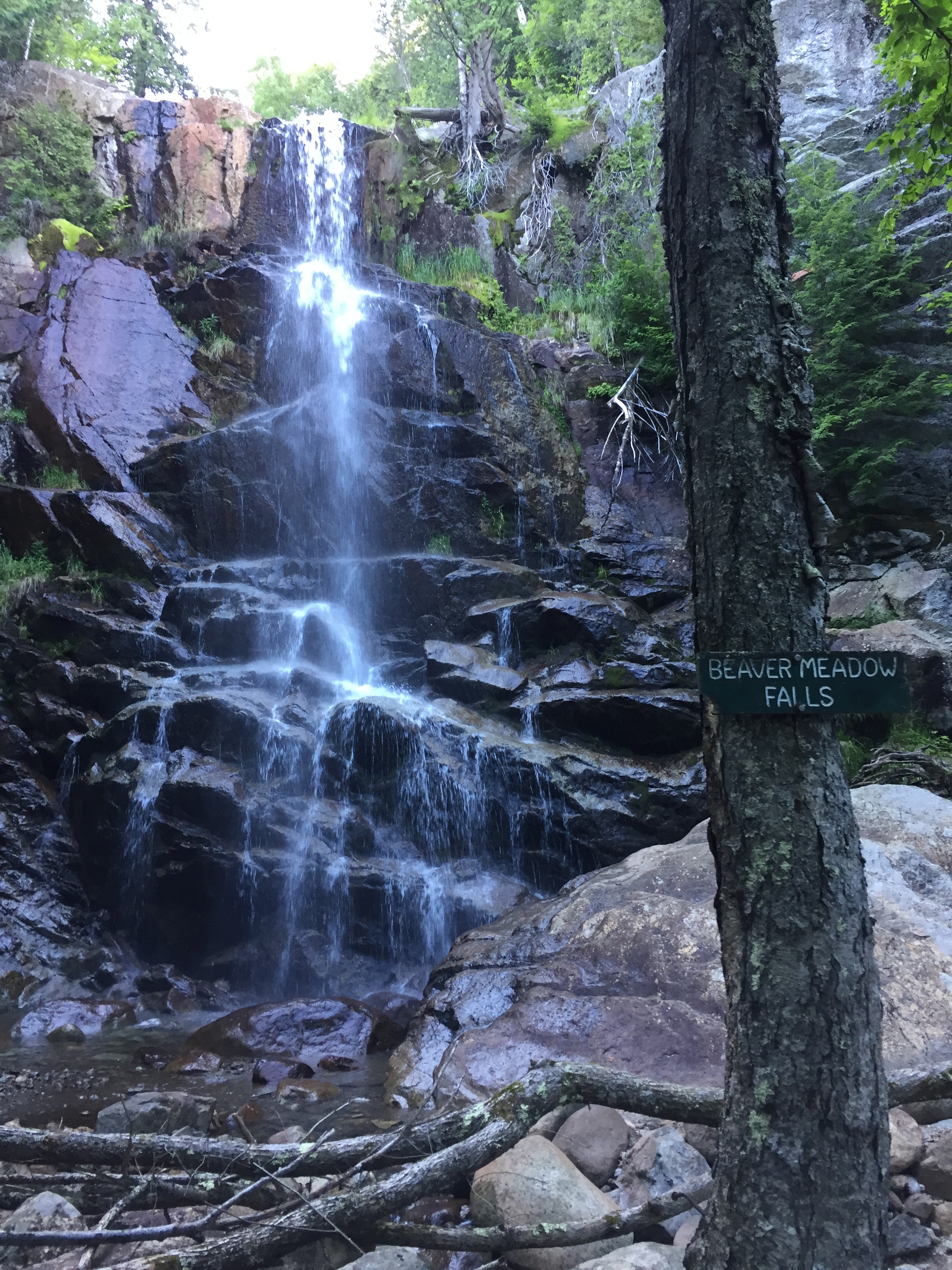
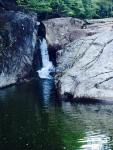
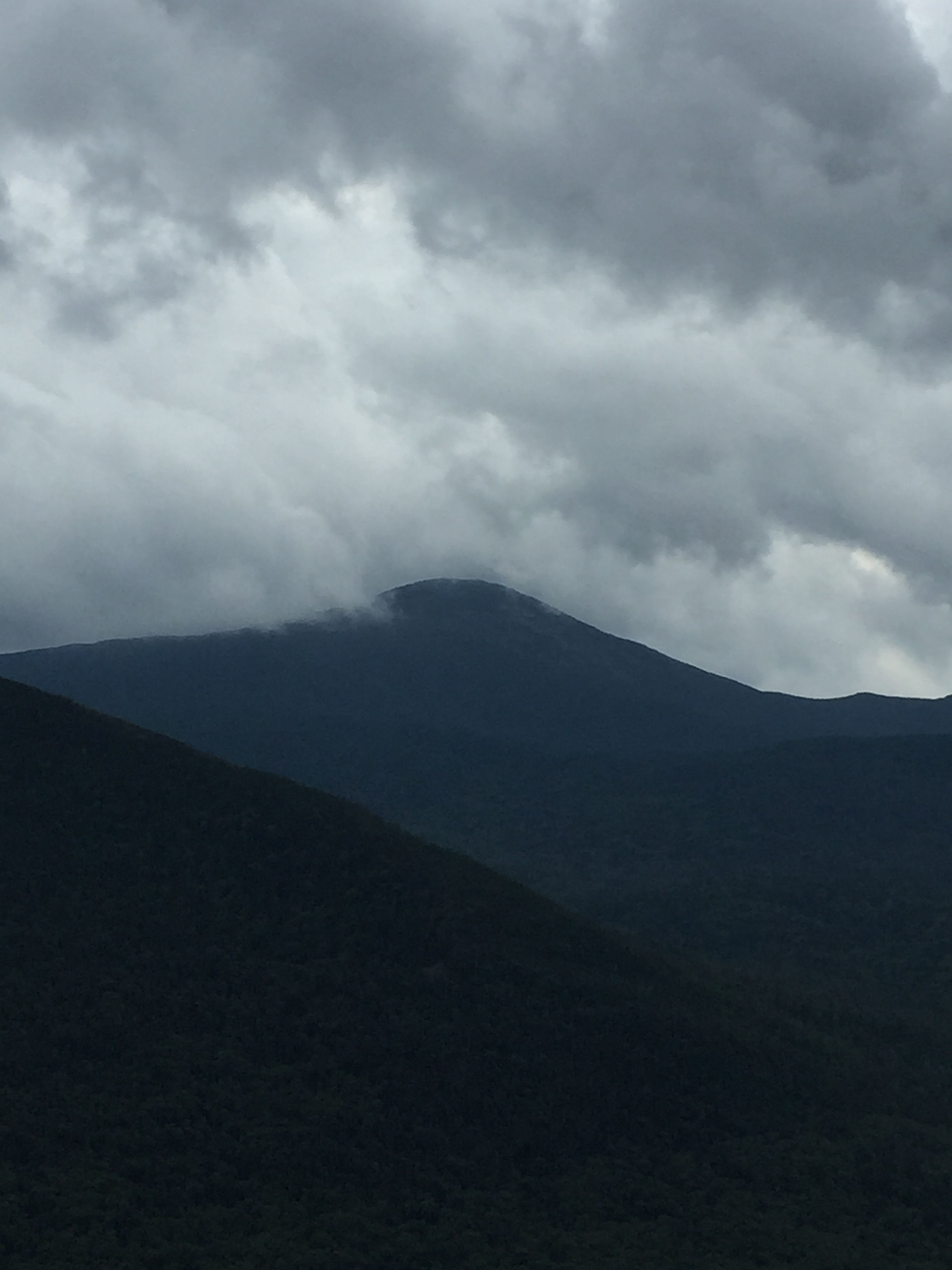
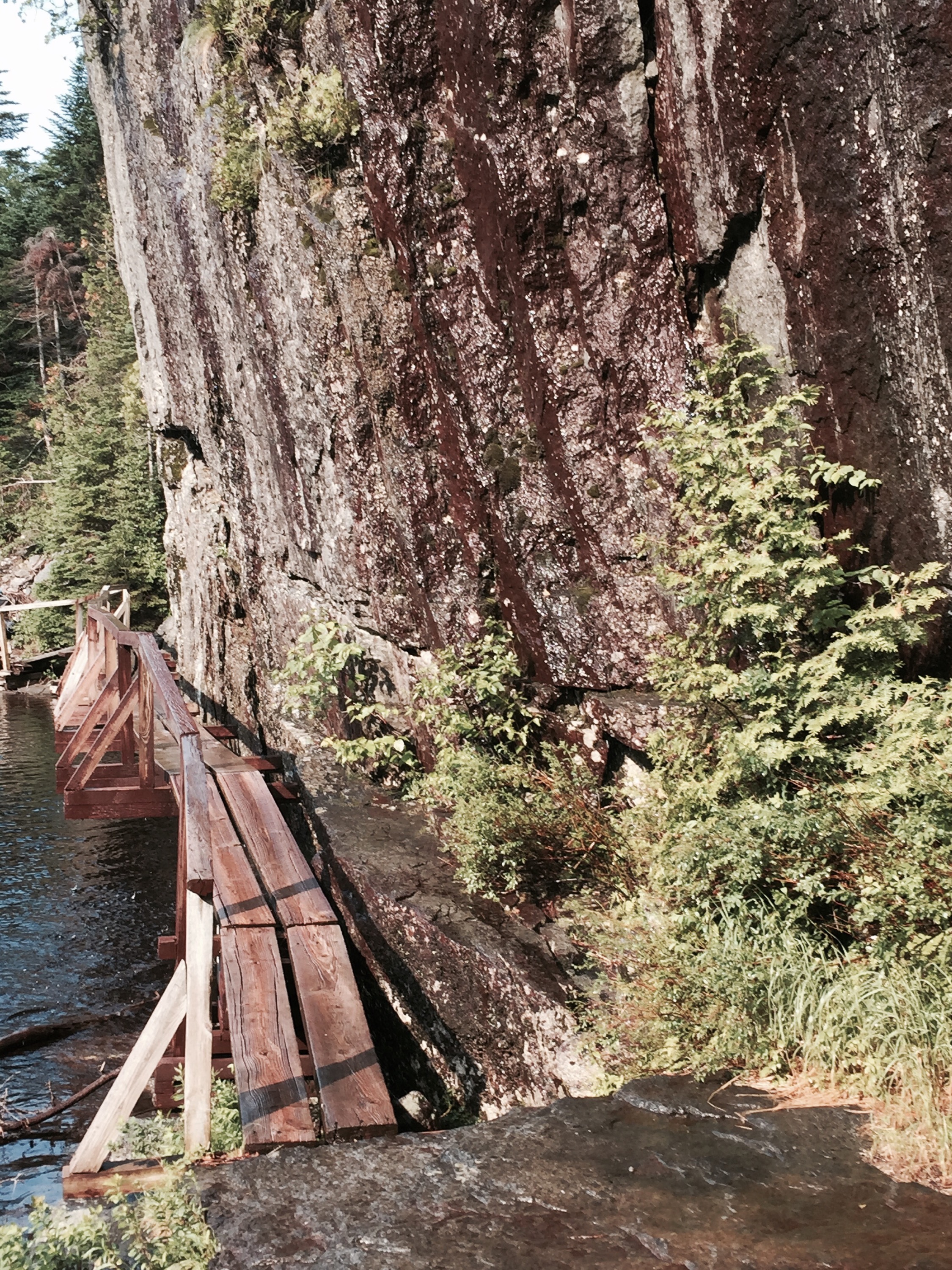
On our fifth day we hiked nearly seven miles, visiting the Roaring Brook waterfall before hiking along the Old Dix Trail to another lean-to.

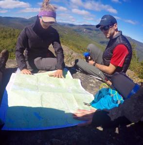
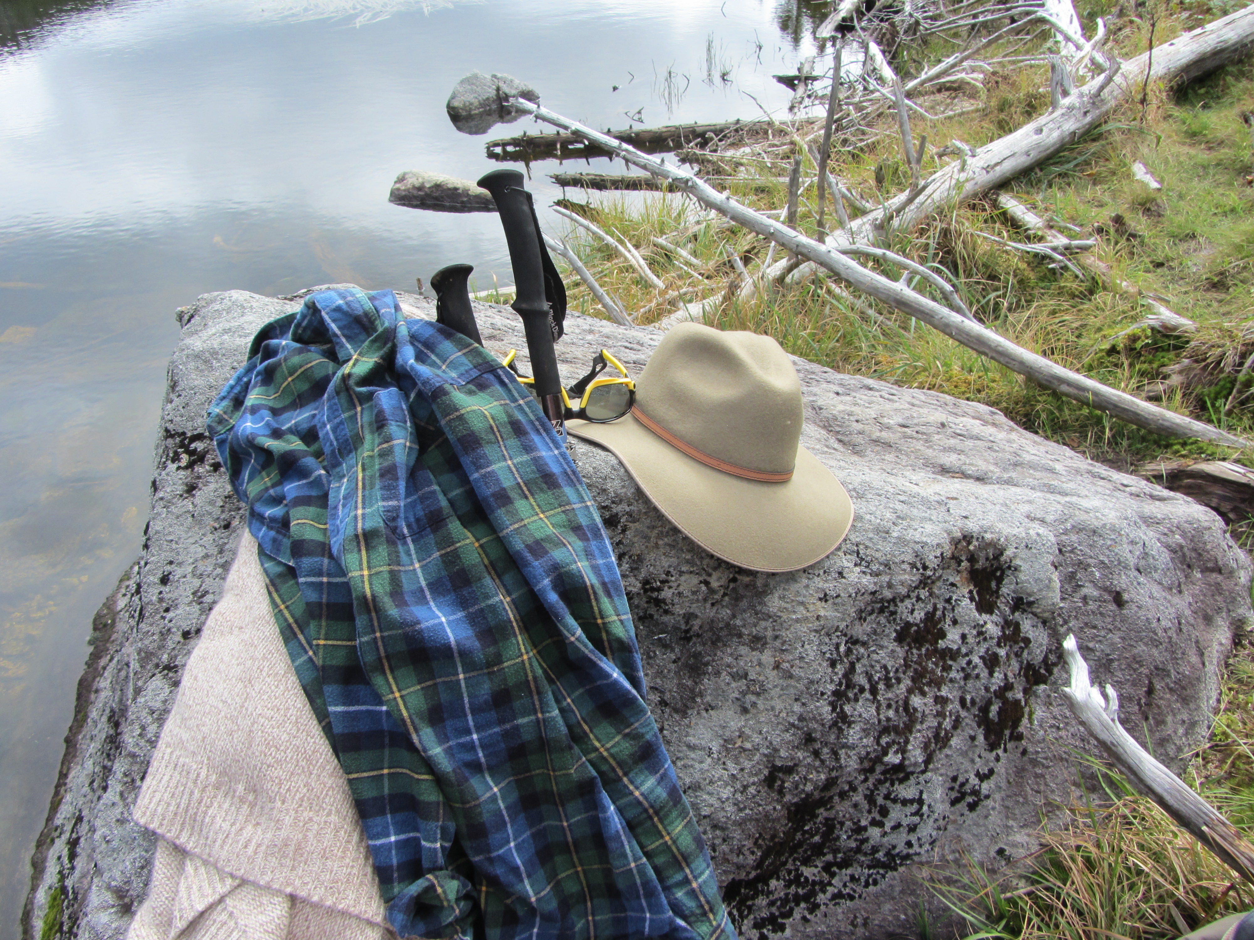
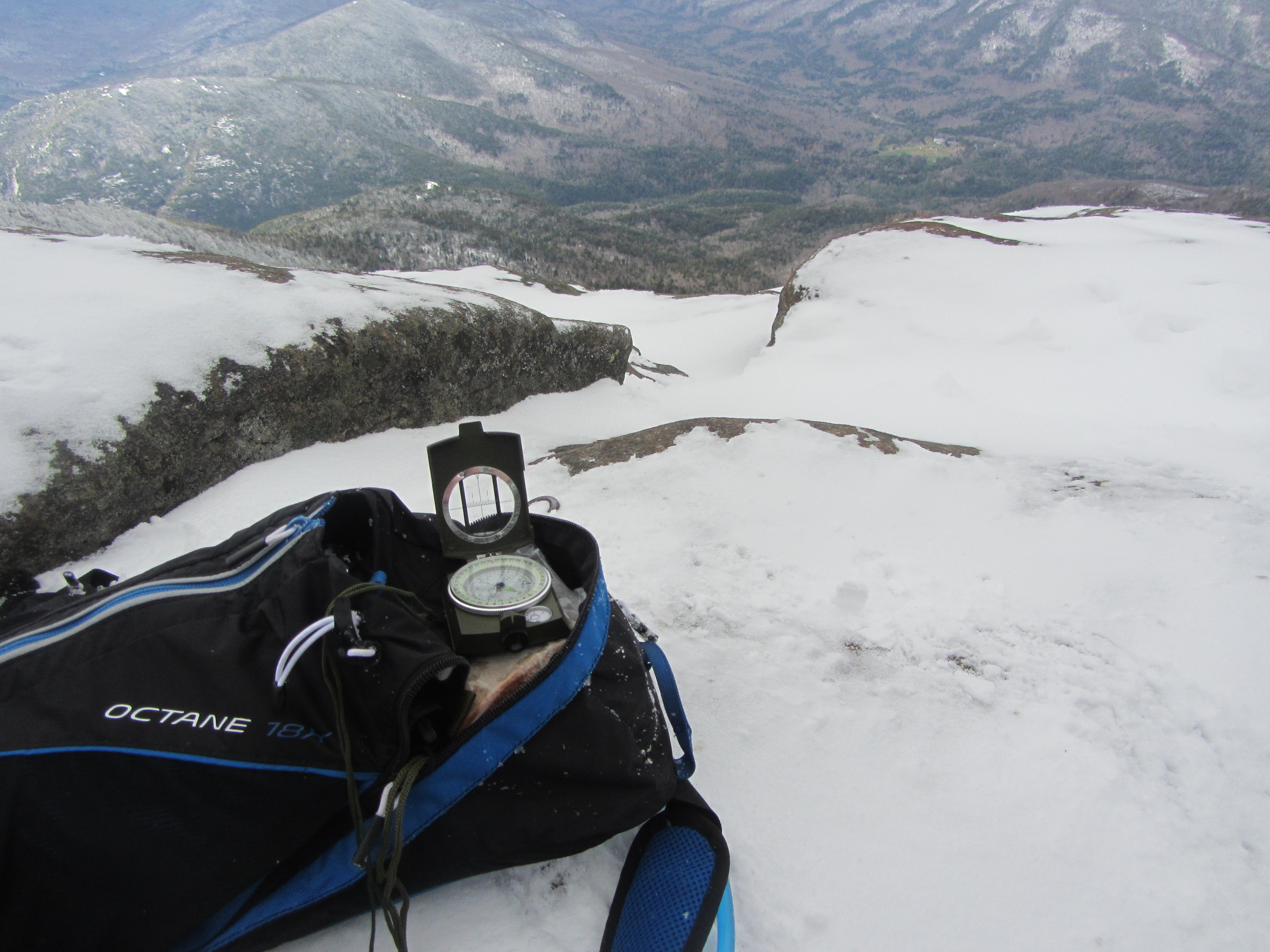
Yom Kippur started at sunset and Adam could not eat during the holiday. Oscar decided to keep him company and the two spent the sixth day of our journey fasting together. While Oscar and Adam were fasting I hiked to Noonmark Mountain with Hannah, Christina, Aaron, and Jenny. At the summit we made coffee and cooked ramen noodles which we ate while using a map and compass to identify the nearby mountain peaks.
After we returned to the lean-to Adam asked me to forgive him for anything he had done to hurt me over the few short days I had known him. I was deeply touched by his gesture and could not find the right words to say before turning away so that he would not see me wipe away a tear.
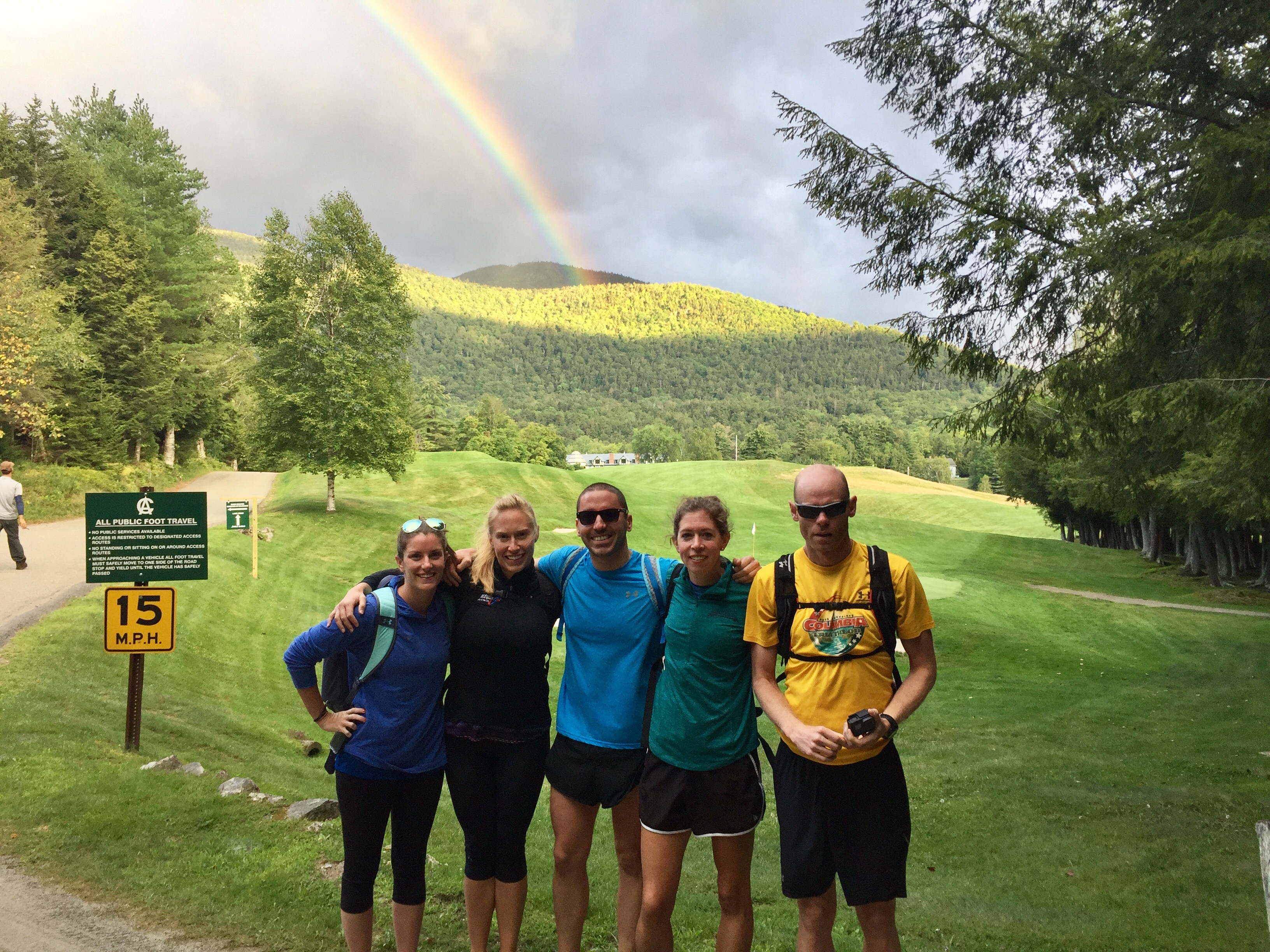
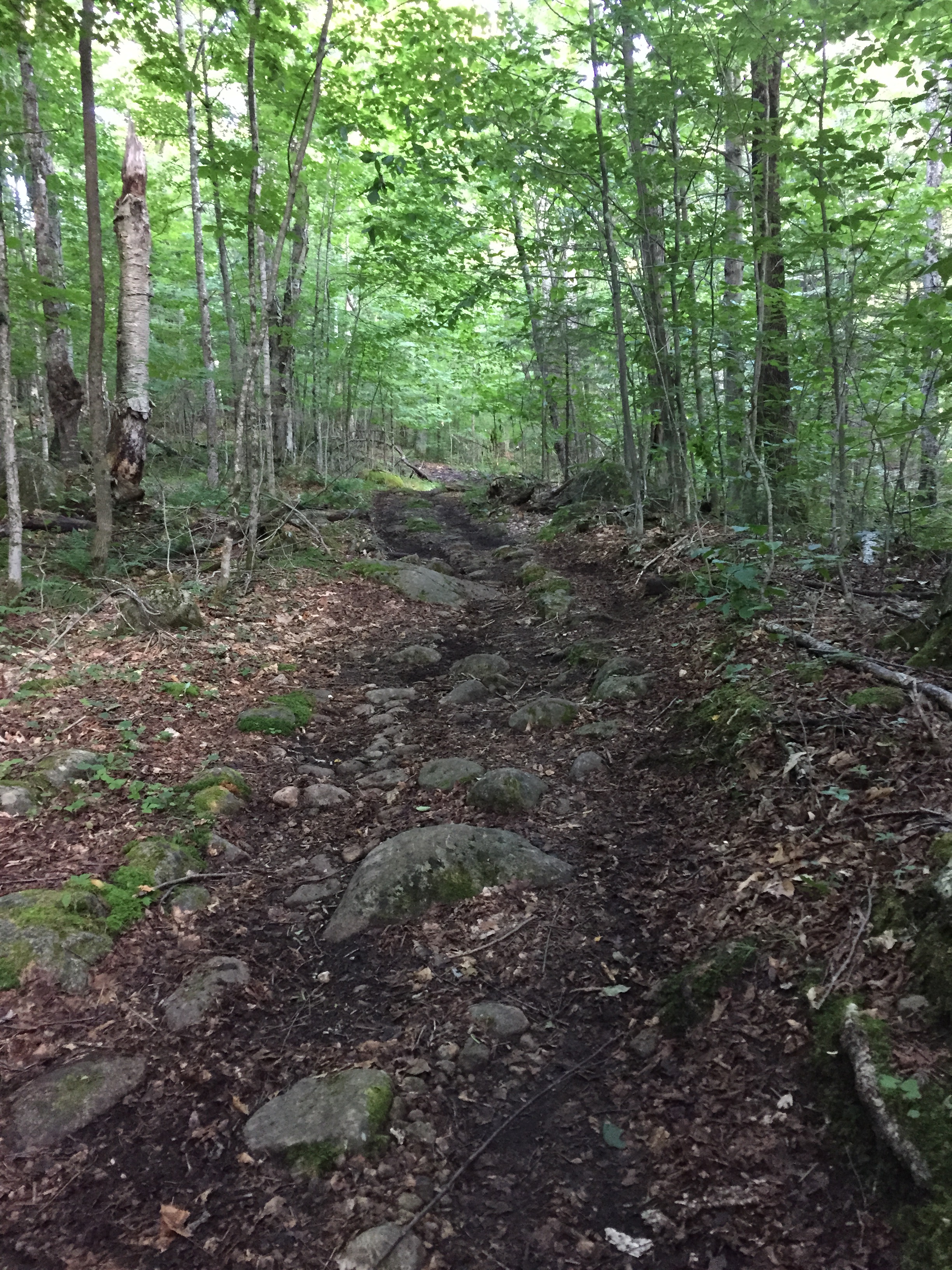
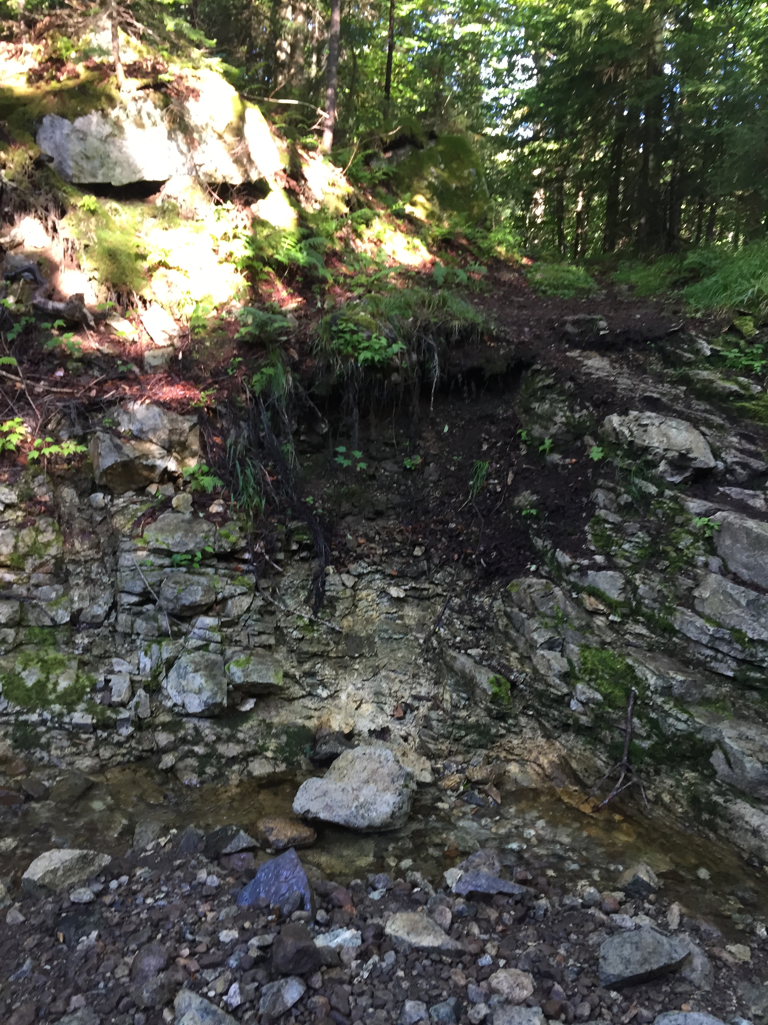
Each day our skills improved. We always looked out for each other while hiking, calling out when we saw loose rocks or exposed roots on the trail. Other than that I usually hiked in silence, listening as my companions shared their life stories with each other.
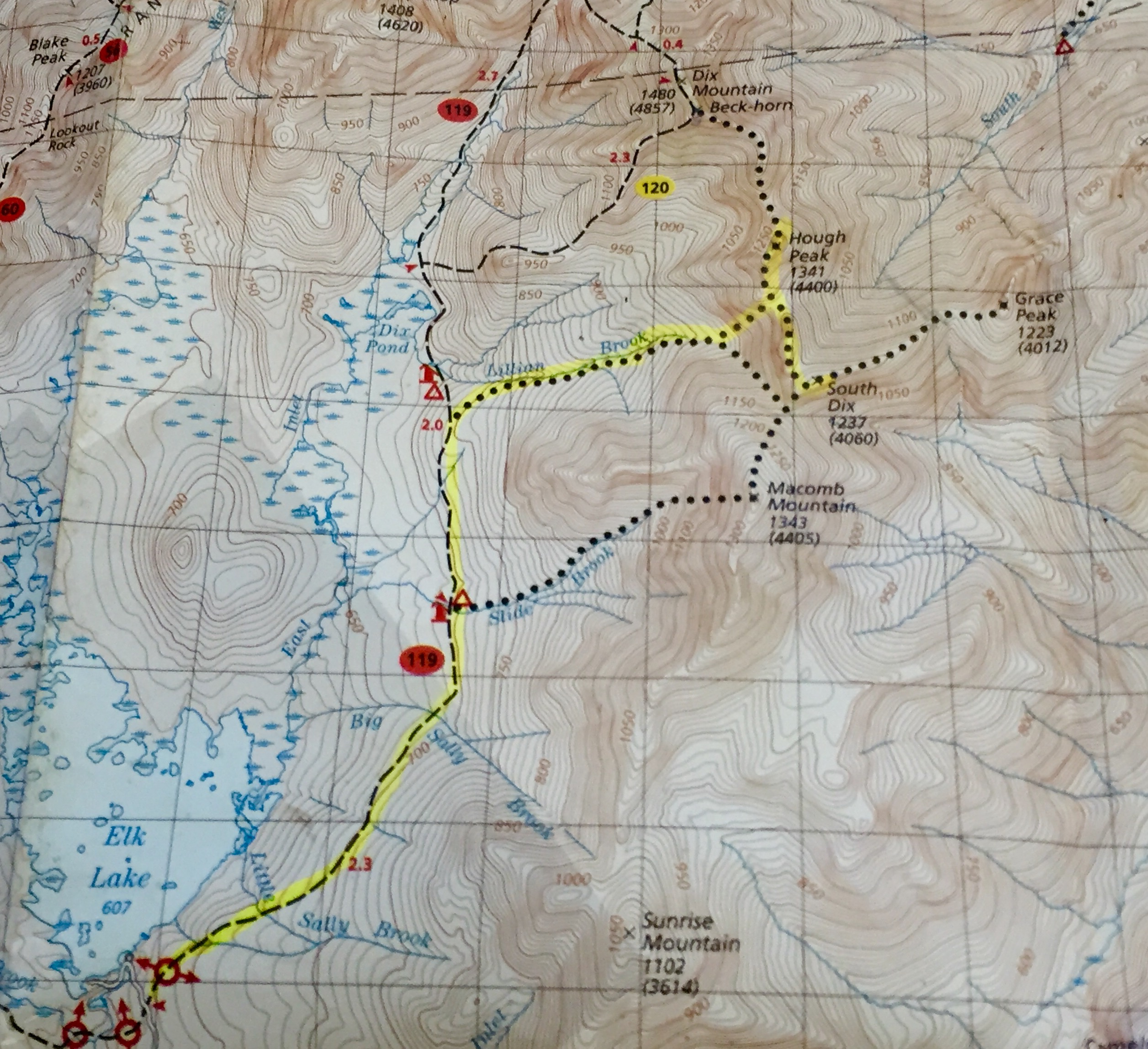
On Friday Oscar, Aaron, Adam, Jenny, Christina and I backpacked over Dix Mountain, pausing for lunch and pictures at the base of the Beck-horn.

.
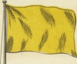
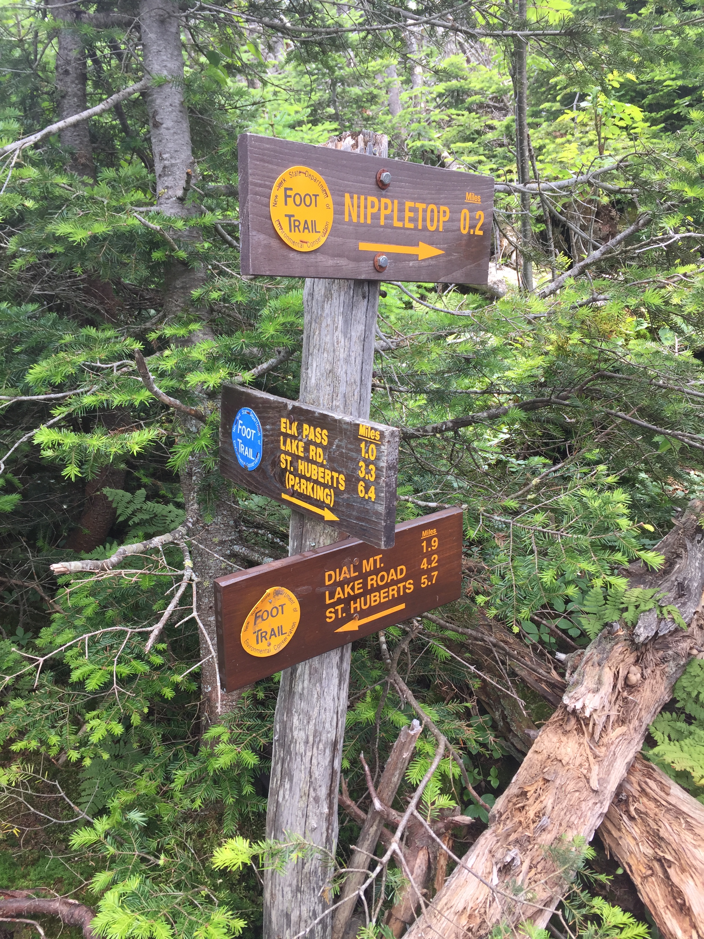
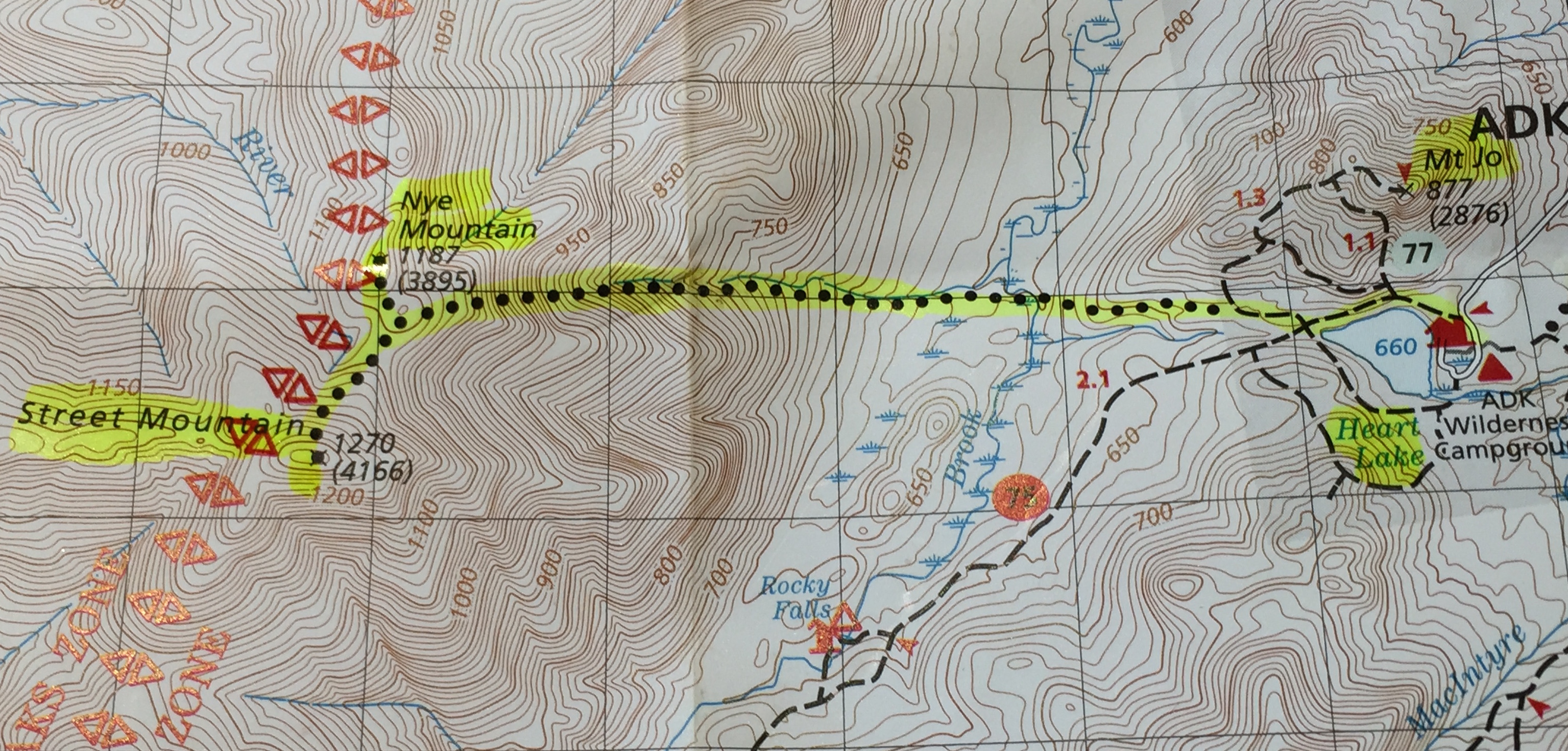
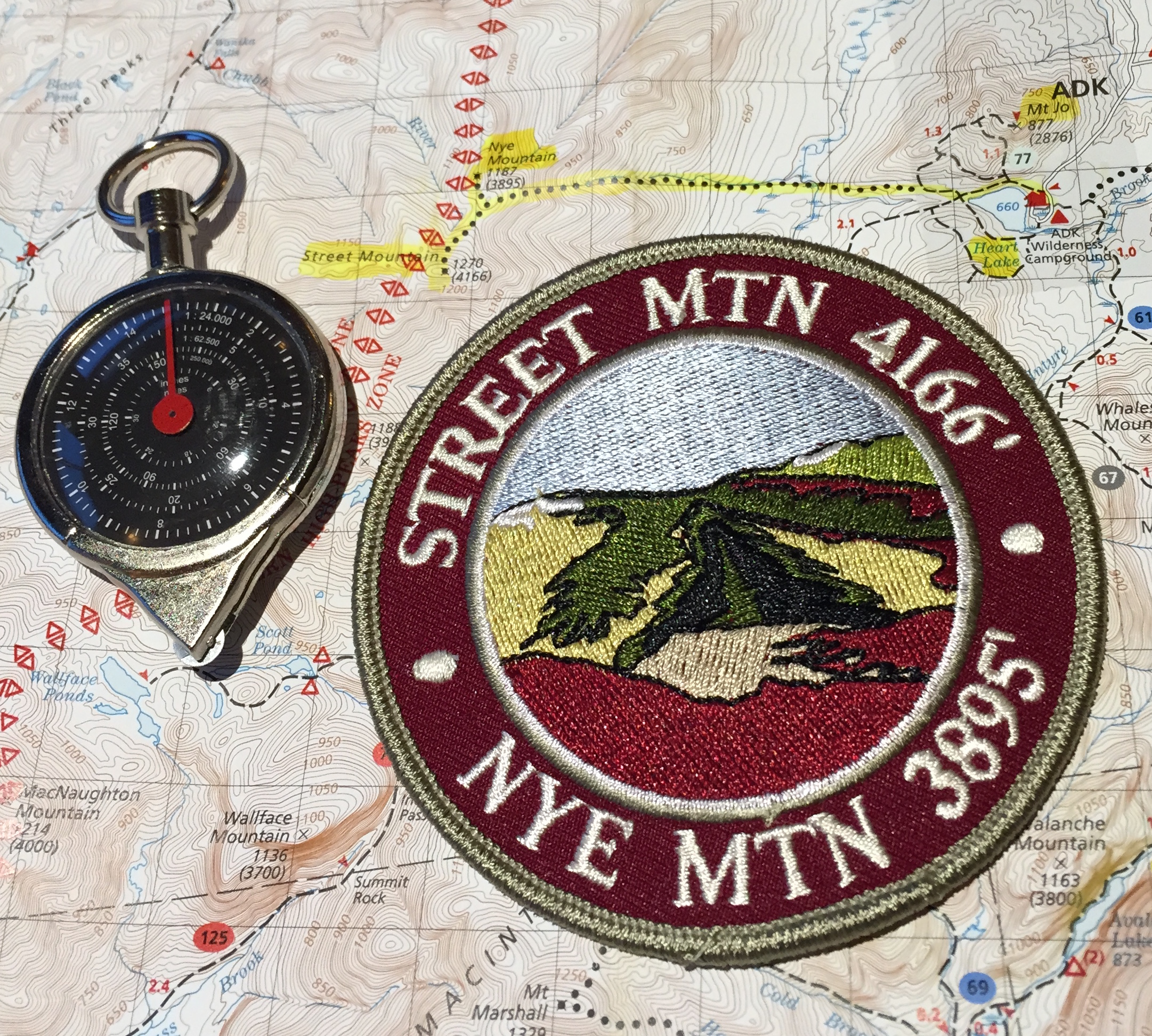
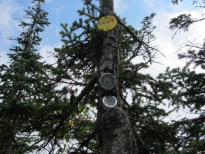
The next day I hiked with Hannah and another small group to the top of Macomb Mountain, bringing my current total of high peaks summited to twenty-two.

We finished our trip early Sunday morning and said our goodbyes later that day.
Over the nine days we spent together we hiked just shy of thirty miles, climbed four mountains and learned how to survive and thrive in the wilderness while carrying everything we needed on our backs. We learned how to read maps and use compasses and how to transform basic food staples like beans and rice and flour into meals that would get us through the day. We ate out of plastic bowls with spoons and drank our coffee and hot chocolate out of Nalgene bottles. We found our water in the brooks and ponds we hiked past and made it safe to drink by using chemicals we carried in our pockets. I lost a little weight, grew a bit of a beard and met amazing people whose friendships I will cherish for the rest of my life.
Last week I left my iPhone in the car, picked up a backpack and spent nine days hiking through the Adirondacks with nine people I first met at an ice breaker where we were each asked to perform a favorite dance move. Along the way I witnessed exceptional displays of leadership and compassion and ate rehydrated potatoes cooked over a camp stove in a frying pan.
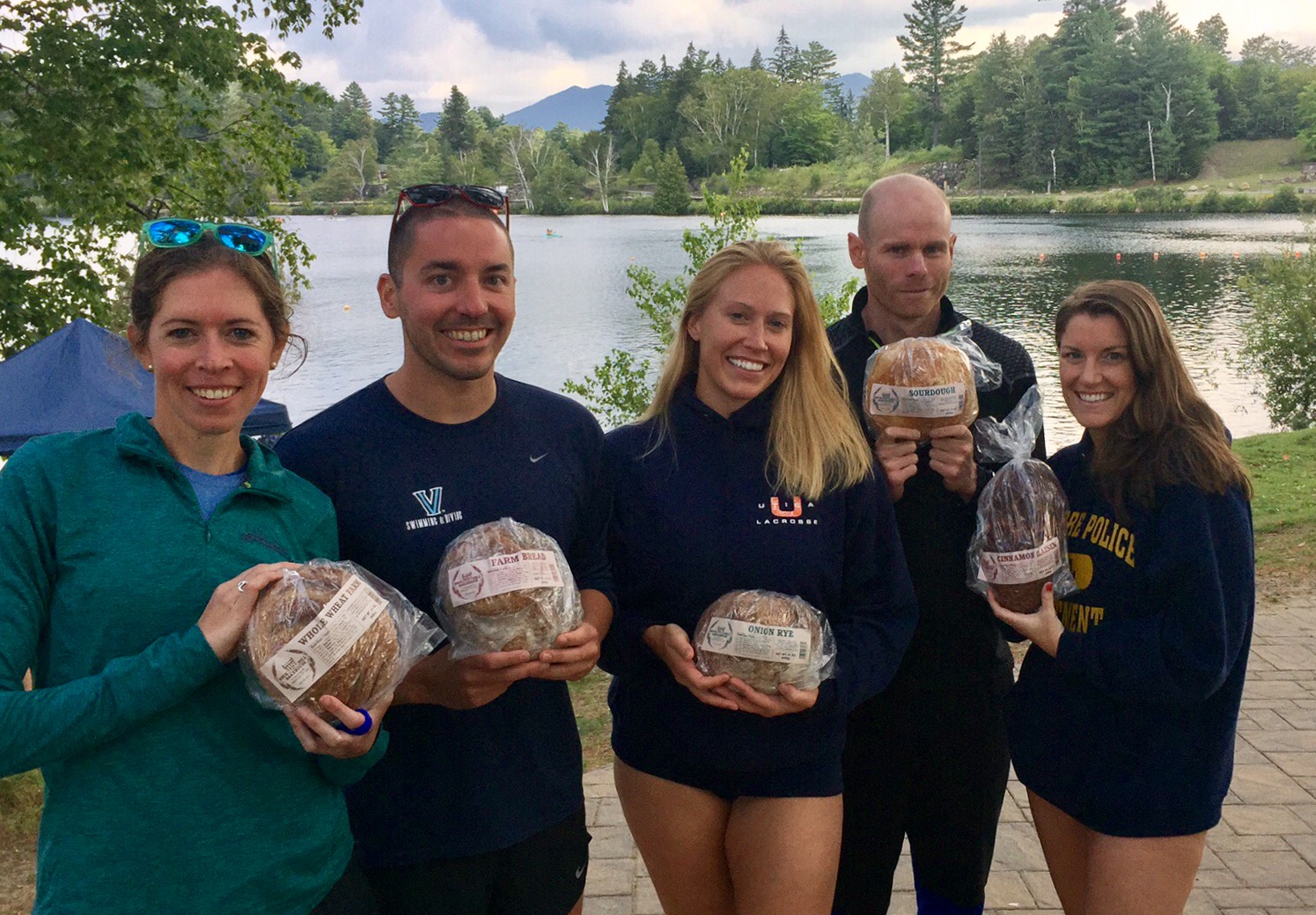
They were the most rewarding days I have yet to spend in the Adirondacks and the mashed potatoes really were the best I have ever had.


